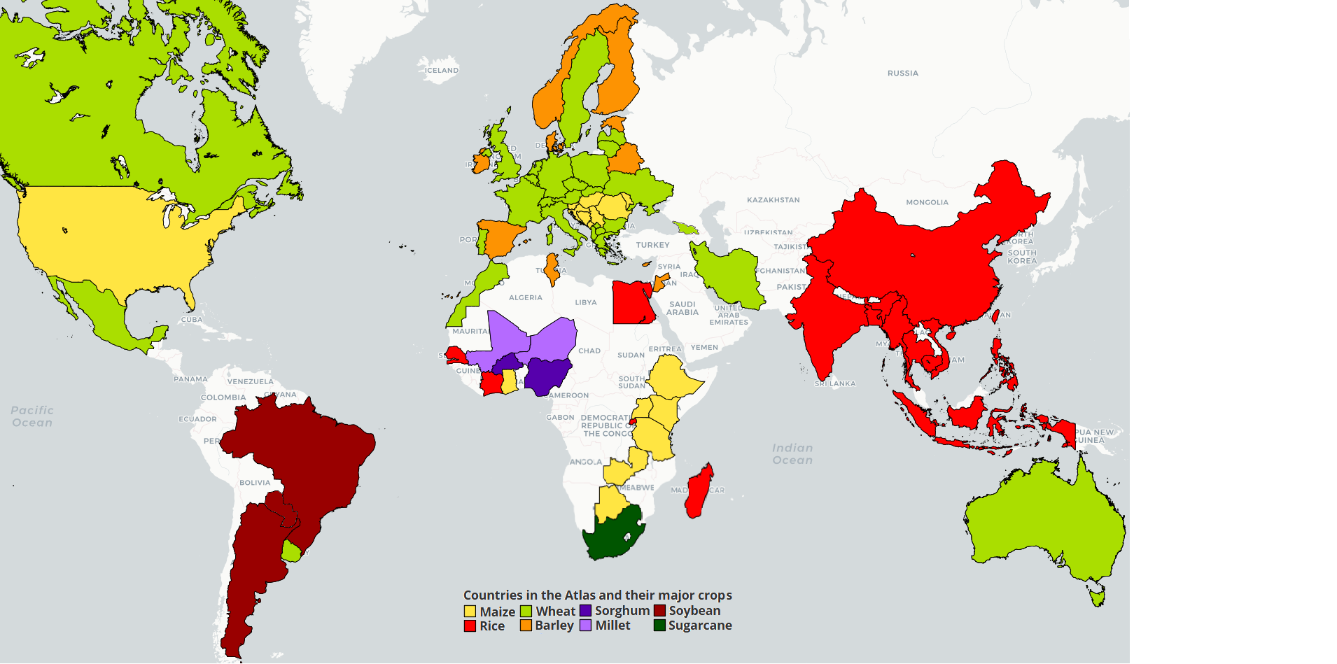
 Mali
Mali
Detailed information on the analysis by crop is available for:
- Rice. Please check the sub-Saharan Africa rice page
- Sorghum. Please check the sub-Saharan Africa sorghum page
- Millet. Please check the sub-Saharan Africa millet page
Description of agriculture, climate, and soils in Mali (by Dr. M. Kouressy)
Mali is one of the largest countries in West Africa. It is located between 10° to 25° north latitude and landlocked. Its population was 14.5 million people with a growth rate of 3.6% in 2009. Considered the breadbasket of West Africa, Mali is divided into four climatic zones along the north-south gradient:
- Sahara climate in the north, occupies 2/3 of the country, with rainfall from 50 to 250 mm per year. Alluvial floodplains eolian sand dunes cover the landscape. Clay soils are more or less sodic and sterile and traversed by starving herds (Bertrand & Gigou, 2000). These soils have been extensively described by the PIRT project in 1983. The economy is essentially based on nomadic-grazing. Farmers grow very early maturing millet and water receding and pond sorghum in a "Acacia albida agro system."
- The Sahelian climate (center of the country) has average annual rainfall from 400-600 mm.
- The Soudanian climate (South of the country) has average annual rainfall from 700-900 mm.
- In the far South of the country is a zone with the Soudano-Guinean climate with rainfall from 1000 -1200 mm.
Rainfed crop production is practiced in all but the Sahara zone. Rainfall is uni-modal with the main part centered around August. Soils in arable regions are tropical ferruginous with textural differences, ranging from sandy, sandy loam, clay to clay loamy with more or less yellow coloration. Soil depths and topo-sequences vary from one place to another (Les Ressources terrestre au Mali, 1983). In general, soils are very low in nitrogen and phosphorus, pH ranges from 4.2 to 5.6 in rainfed areas and to 7.0 in irrigated areas with strong water logging and surface evaporation. Crops cultivated include sorghum, cotton millet, maize, groundnuts, cowpeas, rice. Improvement of the agricultural system is based on a "one agro Acacia albida park system" in the Sahelian part and replaced by Shea Vitellaria paradoxa in the South. The use of manure, compost and forage harvesting are common in these areas.
Cereal production was 6.67million tons in 20012-2013, and per capita grain production was 345 kg (MA, 2012). Yields and production areas for major crops are given in Table 1.
Table 1 Average yields, harvested areas and total productions of the major food crops in Mali in the period 2002-2011.
Source: EAC-CPS/SDR, 2012
References
Les Ressources terrestre au Mali, 1983 Vol II rapport technique
Rapport annuel du Ministère de l'agriculture du Mali2012
Recueil des statistiques du secteur du Développement Rural au Mali, 2001-2010
Bertrand, Roger, Gigou, Jacques, 2000. La fertilité des sols tropicaux in (Ed. Maisonneuve et Larose) Le Technicien d'Agriculture Tropicale.
Get access to the Atlas for advanced users
Download GYGA results
 | Please read the license information in case you are interested in using the data from the Global Yield Gap Atlas. |
| read more>> |


